MONITORING AND UNDERSTANDING THE WORLD’S EVOLVING COASTLINES
GLOBAL SHORELINE CHANGE
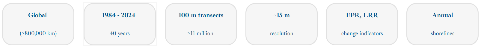
A novel global dataset that quantifies multi-decadal shoreline change, providing open access to high-resolution indicators of coastal erosion, stability, and accretion. Designed for researchers, engineers, and policy makers working to safeguard deltas, estuaries, and sandy coasts worldwide.
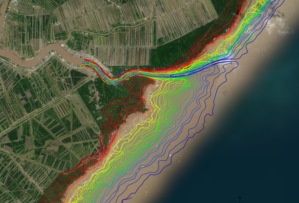
The ShorelineMonitor provides harmonised, satellite-derived information on the dynamics of the world’s sandy, muddy and deltaic shorelines. Built on consistent global methods and transparent quality assessments, the dataset supports scientific research, coastal monitoring, and policy-relevant assessments.
The dataset on global coastal erosion enables both discovery and decision-making. Thats the reason that we share the data publicly and offer a collaborative environment to jointly better understand the dynamics of our Planet’s coast.
Governments could use the data product to support the following activities:
- planning of infrastructure
- developments of adaptation strategies
- aid funding
- awareness raising
Municipalities and cities could use the data product to develop their strategies related to:
- coastal management
- nourishment strategies to combat erosion
- planning of infrastructure
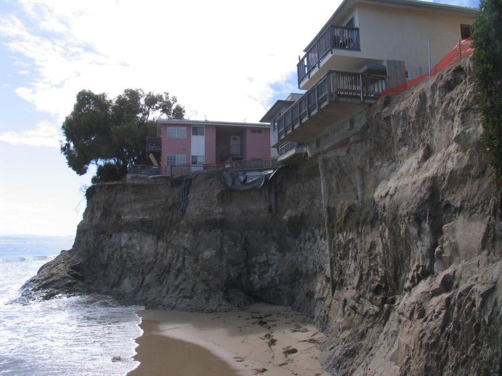
House owners could assess them selves how their beach has changed and use the data for simple extrapolation of the historic trend to assess the future changes.

Regional Banks, insurance companies and other research institutes could use the global coastal erosion data for:
- National Assessments on State of the Coast
- Future land loss assessments
- Post-storm impacts on coastal areas

Citation and acknowledgment
Luijendijk, A., Hagenaars, G., Ranasinghe, R. et al.
The State of the World’s Beaches. Sci Rep 8, 6641 (2018).
Partners and contact
Developed by Deltares and TU Delft with contributions from global partners and validation against regional shoreline observations.
For technical or scientific inquiries: shorelinemonitor@deltares.nl